研究目的
Investigating the use of remotely piloted aircraft systems (RPAS) as an alternative platform for remote sensing of Scottish coastal waters to increase spectral, spatial, and temporal resolution of data while reducing costs and risks.
研究成果
The study demonstrates the potential of RPAS as an affordable and accessible alternative for remote sensing of marine coastal environments, offering higher spatial, temporal, and spectral resolution data. The 'spectro-copter' system shows promise for monitoring harmful algal blooms and other marine phenomena, despite current limitations. Future work will focus on overcoming these challenges and expanding the system's applications.
研究不足
The system's increased weight due to protective housing and additional equipment reduces flight time and efficiency. The non-lambertian nature of the reference panel introduces inaccuracies in reflectance data correction. The study acknowledges the need for further work to address these limitations and to validate the system's application for routine monitoring of HABs.
1:Experimental Design and Method Selection:
The study involves the development and testing of a custom-built 'spectro-copter' system, which integrates a dual field-of-view, miniaturised, hyper-spectral spectrometer aboard a purpose-built quadcopter. The methodology includes the design rationale, theoretical models, and detailed procedures for data collection and processing.
2:Sample Selection and Data Sources:
Data are collected over Scottish coastal waters and various land-based targets to test the system's capability. The selection criteria focus on areas with potential for harmful algal blooms (HABs) and other marine phenomena.
3:List of Experimental Equipment and Materials:
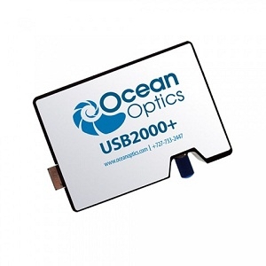
The equipment includes a custom-built quadcopter, an Ocean Optics USB2000+ spectrometer, a PixHawk flight controller, and a GoPro Hero 4 camera. Materials include IP68 protective housing for marine operation.
4:Experimental Procedures and Operational Workflow:
The procedure involves test flights over land and water, data collection using the spectrometer, and synchronization with flight data. The workflow includes data processing steps to calculate reflectance (R).
5:Data Analysis Methods:
Data analysis involves subtracting dark signals, dividing by integration times, converting pixel numbers to wavelength, calculating raw reflectance, and applying correction factors for sky conditions.
独家科研数据包���,助您复现前沿成果,加速创新突破
获取完整内容